
NPS Maps
The official National Park Service park maps as an overlay in Goat Maps: trails, campgrounds, visitor centers and roads, drawn by the NPS. Included with a membership.
- Type
- Overlay
- Coverage
- United States
- Price
- With a membership
Updated
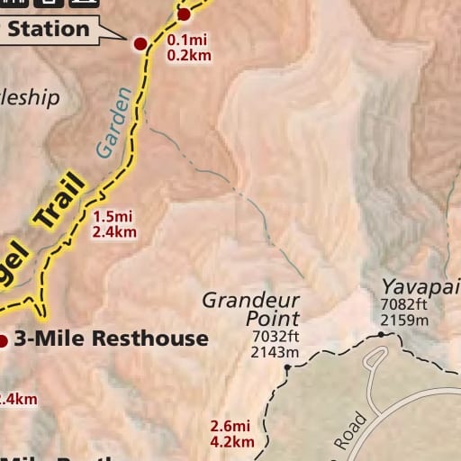
What it shows
NPS Maps puts the National Park Service's own park maps on the map: the ones printed in park brochures and handed out at entrance stations. They show trails with distances, campgrounds, visitor centers, ranger stations, shuttle stops, roads and viewpoints the way the park draws them.
The maps are lined up with the ground, so your location, tracks and waypoints sit in the right place on them. Use them to see a park the way its rangers present it, then switch back to Topo for contours and terrain.
On the map
The park maps draw on top of the base map. Park-wide maps appear from about zoom 6. Closer in, detailed maps of villages, visitor areas and historic sites take over, some as close as zoom 17. Where a park has no detailed map, the park-wide map stops at its own scale.
Printed legends, north arrows, scale bars and insets are left out where possible, so the map shows the park itself. The symbols are the standard NPS ones.
Where the data comes from
The National Park Service, from maps made by its Harpers Ferry Center. They're in the public domain.
The maps are a snapshot, not live conditions. Trails, roads and campgrounds close for weather, fire and repairs, so check the park's alerts on nps.gov before you go.
Coverage
More than 260 maps across over 200 national parks, monuments, historic sites and other National Park Service units. A few national parks are missing for now, including Sequoia and Kings Canyon, Haleakalā, Carlsbad Caverns, Pinnacles, White Sands and Gateway Arch, and some parks have only part of their maps.
Membership and offline
NPS Maps comes with a Goat Maps membership, on the web and on iPhone. It's online only, so it needs a connection.
Try Goat Maps free.
Topo and satellite maps, slope angle shading, public land, track recording, waypoints and GPX import are free. Membership adds offline maps and the route planner for $29.99 a year.

More maps
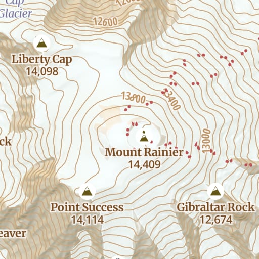 Topo Free Trails, roads, contours and hillshade for the whole world, from OpenStreetMap.
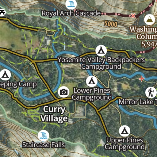 Hybrid Free Satellite imagery with trails, roads, contours and names drawn on top.
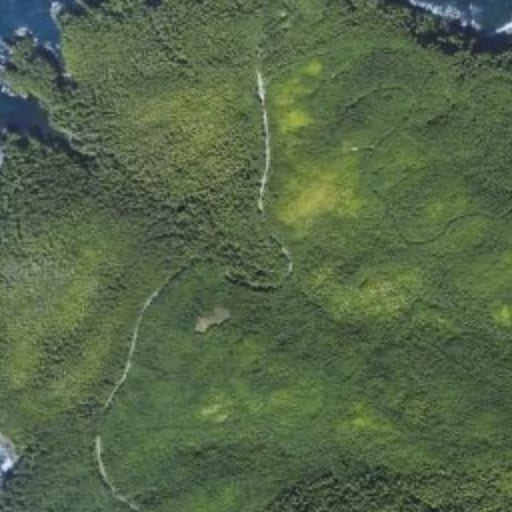 Satellite Free Satellite imagery of the whole world, with nothing drawn over it.
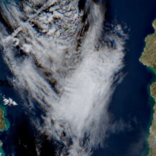 Satellite - Latest Membership Recent Sentinel-2 imagery, for checking snow and conditions before you go.
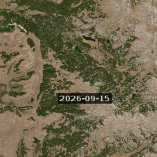 Satellite - Latest Cloudless Membership The newest clear Sentinel-2 image, skipping cloudy passes.
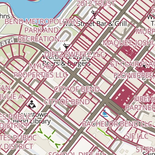 Land Ownership Membership Property lines and owner names for private land across the United States.
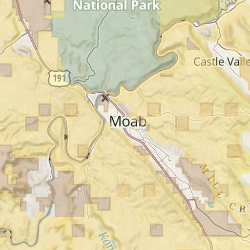 Public Lands Free Federal and state land colored by agency, from the USGS PAD-US database.
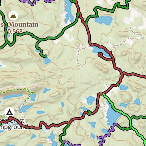 USFS Motor Vehicle Use Map Free Which National Forest roads and trails are open to which vehicles, and when.
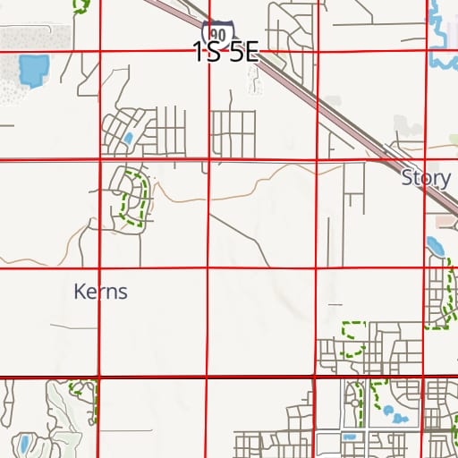 PLSS Free Township, range and section lines from the BLM's survey records.
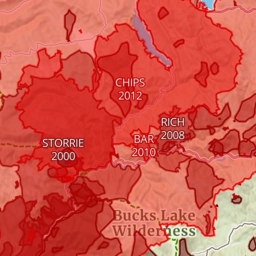 Historic Fires Free Past wildfire perimeters with each fire's name and year.
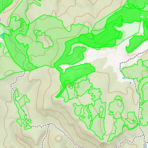 USFS Timber Harvests Free Where National Forests have been logged and thinned, with the year of each cut.