
Public Lands
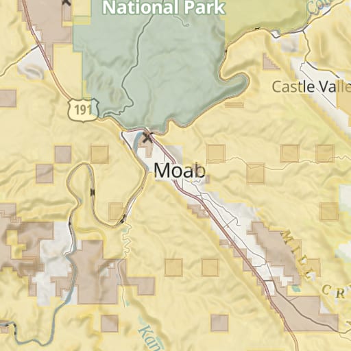
A free map of public land in the United States, colored by agency: BLM, National Forests, National Parks, wildlife refuges and state land, from the USGS PAD-US database.
- Type
- Overlay
- Coverage
- United States
- Price
- Free
Updated
What it shows
Public Lands colors federal and state land across the United States by the agency that manages it, so you can see at a glance whether you're on BLM land, in a National Forest or in a wildlife refuge. Tap an area for its name, the agency that manages it, whether it's open to the public, and its designation.
It's free. Use it to find dispersed camping on BLM and National Forest land, or to check which rules apply where you plan to hunt or camp.
Legend
| Color | Managed by |
|---|---|
| Yellow | Bureau of Land Management (BLM) |
| Olive green | U.S. Forest Service (National Forests and Grasslands) |
| Sage green | National Park Service |
| Dusty rose | U.S. Fish and Wildlife Service (wildlife refuges) |
| Purple | U.S. Army Corps of Engineers |
| Pale yellow | Bureau of Reclamation |
| Light gray | Department of Defense |
| Dark green | Other federal agencies |
| Tan | State land |
| Light orange | Special districts |
Hatching marks land that isn't open to the public, or whose access is unknown. Wilderness areas are outlined in light green and labeled.
The overlay leaves out private land and land owned by cities, counties and school districts. For private land and owner names, use Land Ownership.
On the map
The colors show as soon as you turn the overlay on. They're faint when zoomed far out and stronger from zoom 5. Borders and hatching appear from zoom 8. National Forest and National Park names show when zoomed out, and the names of smaller areas appear as you zoom in.
Where the data comes from
The Protected Areas Database of the United States (PAD-US) from the U.S. Geological Survey, version 3.0. It brings together land records from federal, state and local agencies. Goat Maps uses its fee ownership layer, which records who owns the land, not the easements or designations on top of it.
PAD-US isn't a legal boundary survey. Boundaries can be off, and recent purchases and transfers may be missing. Where it matters, such as around a private inholding, check the managing agency's own map.
Coverage
The United States, including Alaska, Hawaii, Puerto Rico and the U.S. territories.
Offline
Public Lands is free on the web and on iPhone. With a membership, you can download the whole overlay in the iPhone app to use offline.
Try Goat Maps free.
Topo and satellite maps, slope angle shading, public land, track recording, waypoints and GPX import are free. Membership adds offline maps and the route planner for $29.99 a year.

More maps
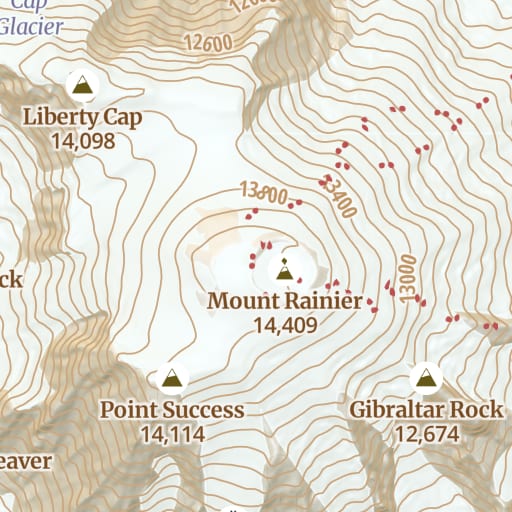 Topo Free Trails, roads, contours and hillshade for the whole world, from OpenStreetMap.
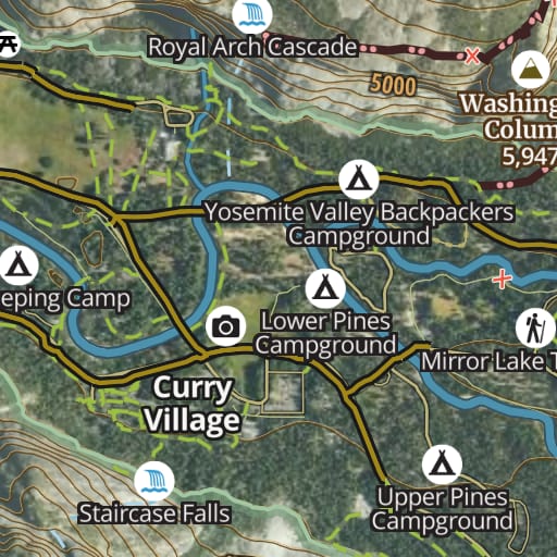 Hybrid Free Satellite imagery with trails, roads, contours and names drawn on top.
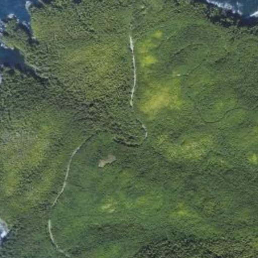 Satellite Free Satellite imagery of the whole world, with nothing drawn over it.
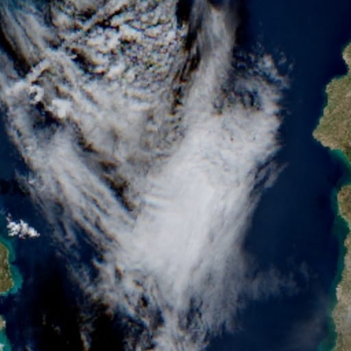 Satellite - Latest Membership Recent Sentinel-2 imagery, for checking snow and conditions before you go.
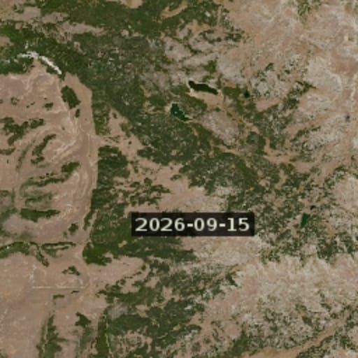 Satellite - Latest Cloudless Membership The newest clear Sentinel-2 image, skipping cloudy passes.
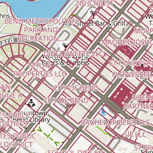 Land Ownership Membership Property lines and owner names for private land across the United States.
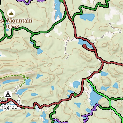 USFS Motor Vehicle Use Map Free Which National Forest roads and trails are open to which vehicles, and when.
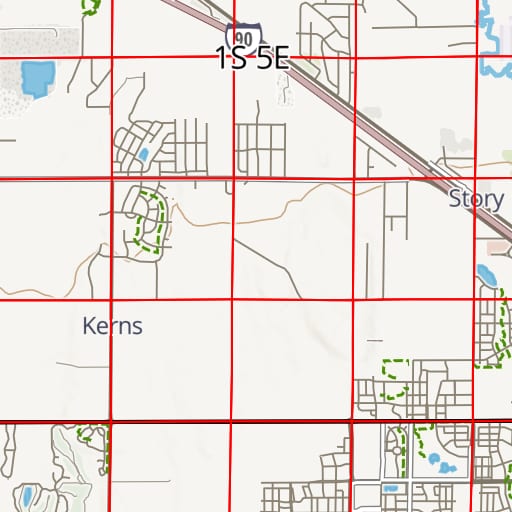 PLSS Free Township, range and section lines from the BLM's survey records.
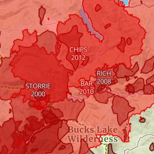 Historic Fires Free Past wildfire perimeters with each fire's name and year.
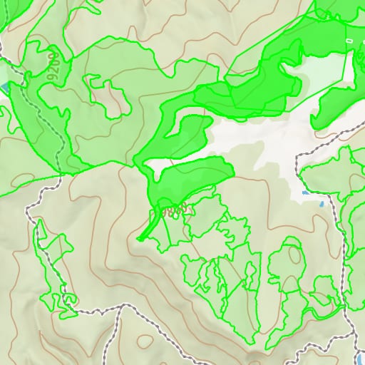 USFS Timber Harvests Free Where National Forests have been logged and thinned, with the year of each cut.