
Land Ownership
Private land ownership for the United States in Goat Maps: property lines, owner names and addresses for parcels across the country. Included with a membership.
- Type
- Overlay
- Coverage
- United States
- Price
- With a membership
Updated
What it shows
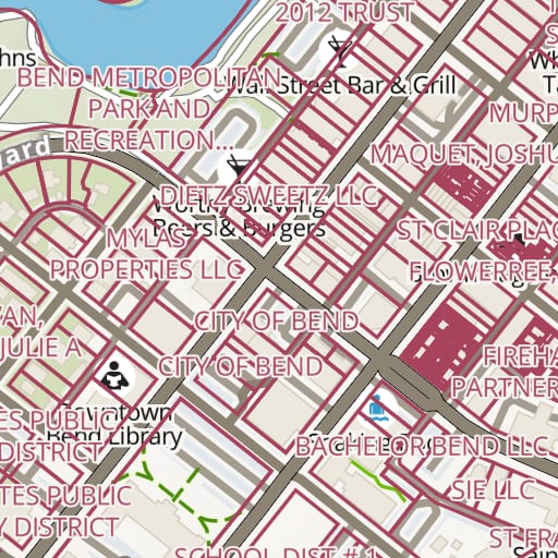
Land Ownership draws property lines across the United States and labels each parcel with its owner's name. Tap a parcel to see the owner and the address on record.
Use it to see where public land ends and private land begins, so you can stay off private land while hunting or exploring off trail, or find out who to ask before you cross it. It pairs well with Public Lands, which colors federal and state land by agency.
On the map
Property lines are drawn in dark red from zoom 11, and owner names appear from zoom 12. Farther out, the parcels would be too dense to read, so nothing is drawn.
Where the data comes from
The parcel data comes from Regrid, which collects property records from county governments across the country: more than 160 million parcels in over 3,000 counties. Regrid refreshes counties in batches through the year.
County records aren't surveys, and an owner's name can lag behind a sale. For anything legal, check with the county.
Coverage
The United States.
Membership and offline
Land Ownership comes with a Goat Maps membership, on the web and on iPhone. It's online only, so it needs a connection. See how to turn on land ownership in the iPhone app.
Try Goat Maps free.
Topo and satellite maps, slope angle shading, public land, track recording, waypoints and GPX import are free. Membership adds offline maps and the route planner for $29.99 a year.

More maps
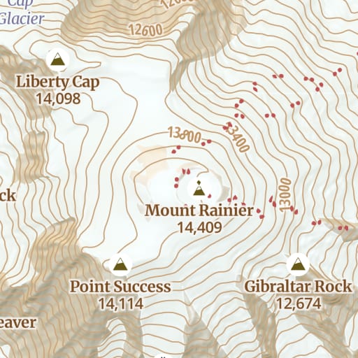 Topo Free Trails, roads, contours and hillshade for the whole world, from OpenStreetMap.
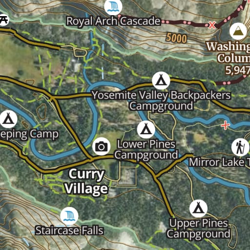 Hybrid Free Satellite imagery with trails, roads, contours and names drawn on top.
 Satellite Free Satellite imagery of the whole world, with nothing drawn over it.
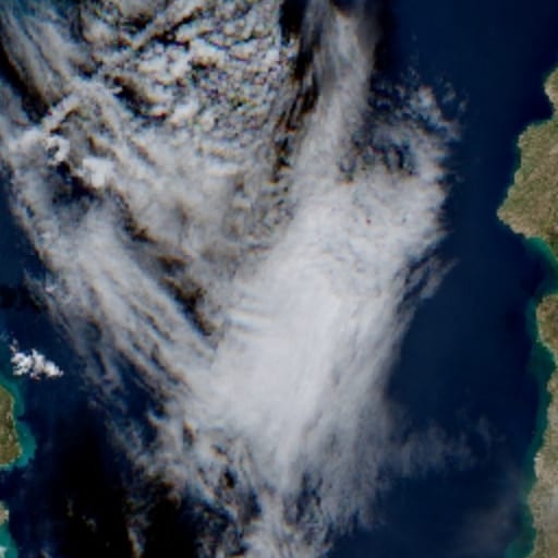 Satellite - Latest Membership Recent Sentinel-2 imagery, for checking snow and conditions before you go.
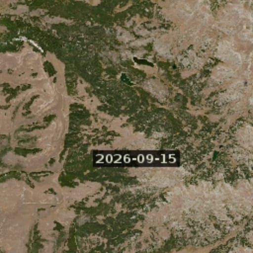 Satellite - Latest Cloudless Membership The newest clear Sentinel-2 image, skipping cloudy passes.
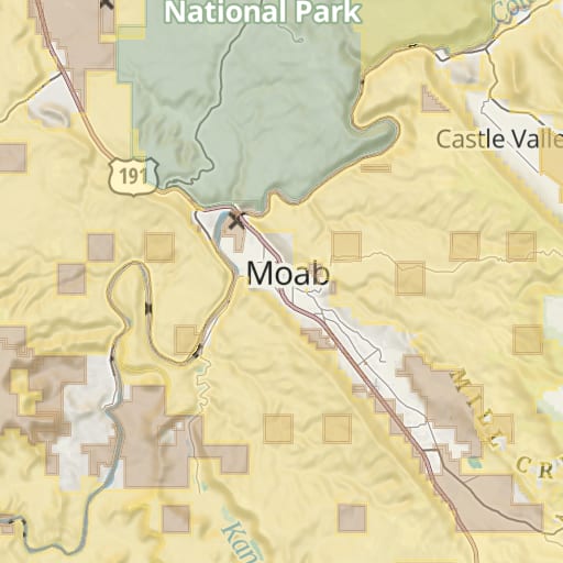 Public Lands Free Federal and state land colored by agency, from the USGS PAD-US database.
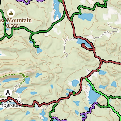 USFS Motor Vehicle Use Map Free Which National Forest roads and trails are open to which vehicles, and when.
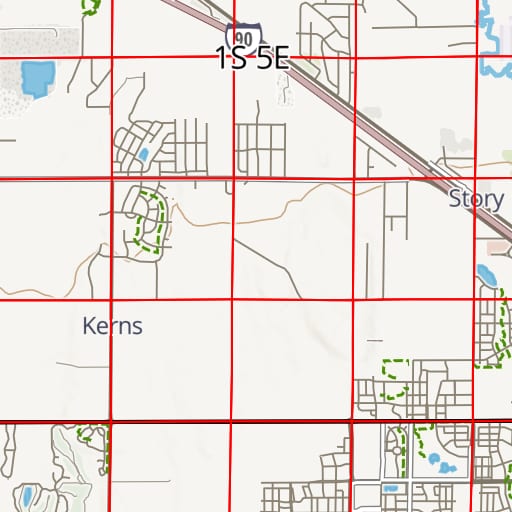 PLSS Free Township, range and section lines from the BLM's survey records.
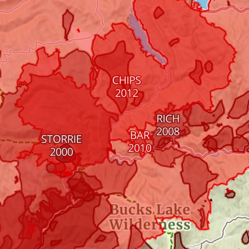 Historic Fires Free Past wildfire perimeters with each fire's name and year.
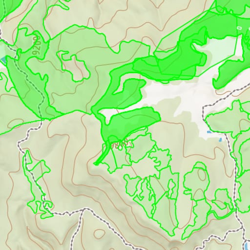 USFS Timber Harvests Free Where National Forests have been logged and thinned, with the year of each cut.