
Topo
The Goat Maps topographic map: trails, tracks, contours and hillshade for the whole world, from OpenStreetMap and open elevation data. Free on the web and iPhone.
- Type
- Basemap
- Coverage
- Worldwide
- Price
- Free
Updated
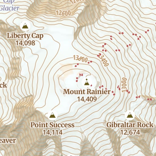
What it shows
Topo is the map Goat Maps opens on. We designed it from scratch for the backcountry, so trails and tracks are easy to pick out against the terrain, and it's the same map on the web and in the iPhone app.
- Trails, drawn by how hard they are: ordinary trails, difficult trails, climbing routes, steps and walkways, with the names of long-distance trails.
- Roads and tracks, with unpaved roads, tracks and roads closed to the public drawn differently, plus fords, bridges and route shields.
- Contour lines with elevation labels, in feet or meters depending on your units setting.
- Hillshade, so you can read the shape of the land at a glance.
- Land cover: forest, bare rock, snow and glaciers, wetlands and water, including streams and lakes that are only there part of the year.
- Outdoor points of interest: peaks and saddles, springs and drinking water, campsites, trailheads, huts and shelters.
- Ski runs, colored by difficulty, and aerial lifts.
- Parks, protected areas and indigenous lands, boundaries down to counties, and names from mountain ranges down to hamlets. Zoomed all the way in, it shows buildings and house numbers.
The full legend, with every color and icon, is in the map legends help article.
Where the data comes from
- Roads, trails, places and points of interest: OpenStreetMap, the map anyone can edit. A trail someone adds or fixes in OpenStreetMap shows up in Goat Maps the next time we rebuild the map.
- Land cover: ESA WorldCover 2021, a 10 m map of the whole world made from Sentinel satellite imagery, combined with OpenStreetMap.
- Mountain range names: the GMBA Mountain Inventory from the Global Mountain Biodiversity Assessment.
- Addresses: Overture Maps.
- Elevation, for the contours and hillshade: Terrain Tiles on AWS Open Data, which blend USGS 3DEP (10 m across most of the United States), SRTM, GMTED2010, ETOPO1 and national elevation models such as EU-DEM and Canada's CDEM.
Contours and hillshade
The contour lines aren't downloaded as a separate map. Goat Maps draws them from the elevation data on your device, so they follow your units setting: every 10 m in metric and every 40 ft in imperial, with a darker index line every few lines. Index lines appear from zoom 9, and the lines between them from zoom 13.
When you're zoomed far out, the hillshade is pre-rendered. From zoom 8 in, it's drawn from the same elevation data as the contours.
Coverage
The whole world. Detail depends on OpenStreetMap, which is very good across North America and Europe and thinner in some remote areas. If a trail you know is missing, you can add it to OpenStreetMap and it'll appear in a later version of the map.
Offline
Topo is free to view on the web and on iPhone. With a membership, you can download it for offline use in the iPhone app, contours and hillshade included.
Try Goat Maps free.
Topo and satellite maps, slope angle shading, public land, track recording, waypoints and GPX import are free. Membership adds offline maps and the route planner for $29.99 a year.

More maps
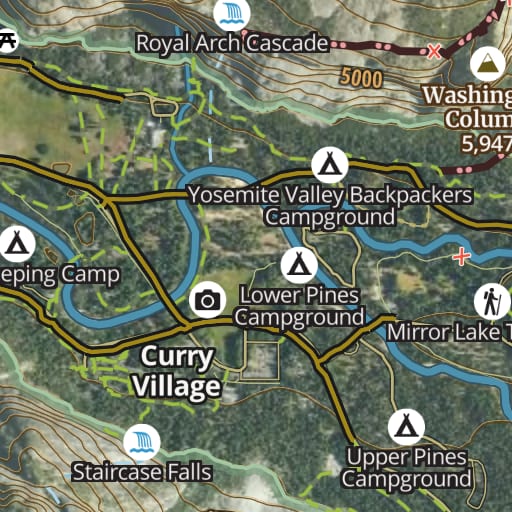 Hybrid Free Satellite imagery with trails, roads, contours and names drawn on top.
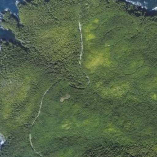 Satellite Free Satellite imagery of the whole world, with nothing drawn over it.
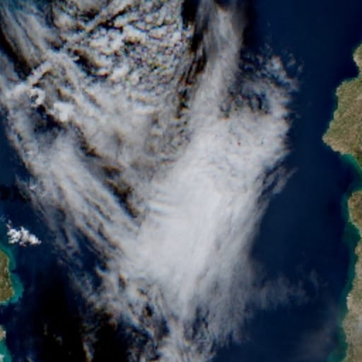 Satellite - Latest Membership Recent Sentinel-2 imagery, for checking snow and conditions before you go.
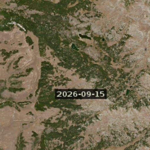 Satellite - Latest Cloudless Membership The newest clear Sentinel-2 image, skipping cloudy passes.
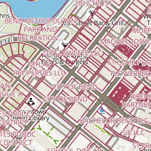 Land Ownership Membership Property lines and owner names for private land across the United States.
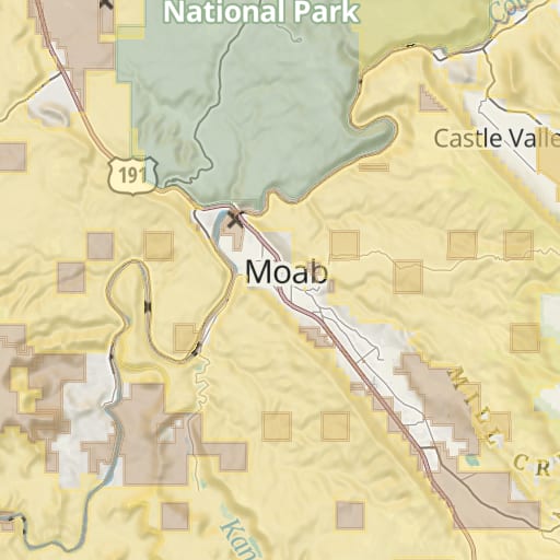 Public Lands Free Federal and state land colored by agency, from the USGS PAD-US database.
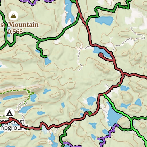 USFS Motor Vehicle Use Map Free Which National Forest roads and trails are open to which vehicles, and when.
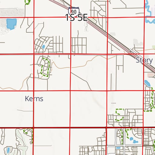 PLSS Free Township, range and section lines from the BLM's survey records.
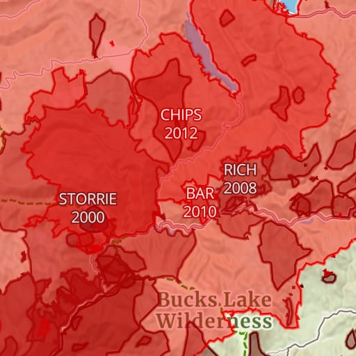 Historic Fires Free Past wildfire perimeters with each fire's name and year.
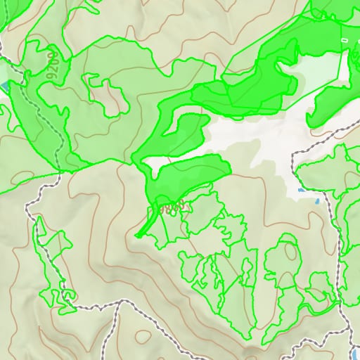 USFS Timber Harvests Free Where National Forests have been logged and thinned, with the year of each cut.