
Satellite - Latest
Recent Sentinel-2 satellite imagery as an overlay in Goat Maps: see current snow, burn scars and washed-out roads before you go. Included with a membership.
- Type
- Overlay
- Coverage
- Worldwide
- Price
- With a membership
Updated
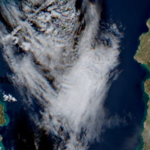
What it shows
Satellite - Latest is recent imagery from the European Space Agency's Sentinel-2 satellites, drawn on top of whatever basemap you're using. Ordinary satellite maps can be years old. This one shows the ground as it looked days or weeks ago.
Use it to check conditions before a trip:
- How much snow is left on a pass or a north-facing slope
- Whether a lake has thawed or a river has flooded
- Fresh burn scars, landslides and washed-out roads
- Logging and new roads that the map doesn't show yet
Resolution
Sentinel-2 sees the ground at 10 m per pixel. That's plenty for snow, water, fire scars and forest cover, but not sharp enough to make out a single trail or a tent. The overlay appears from zoom 8, and its sharpest imagery is at zoom 14. Zoom in further and the same image is only stretched.
How recent it is
With two Sentinel-2 satellites in orbit, the same place is photographed every 5 days at the equator, and more often toward the poles. Unlike Latest Cloudless, this overlay doesn't skip cloudy images, so sometimes you'll see clouds instead of the ground. For the newest clear view, use Satellite - Latest Cloudless.
Where the data comes from
Contains modified Copernicus Sentinel data, processed by Sentinel Hub. The Sentinel-2 mission is part of the European Union's Copernicus program.
Coverage
All land from 56° S to about 83° N, which is everywhere people hike except Antarctica.
Membership and offline
Satellite - Latest comes with a Goat Maps membership, on the web and on iPhone. It's online only, so it needs a connection.
Try Goat Maps free.
Topo and satellite maps, slope angle shading, public land, track recording, waypoints and GPX import are free. Membership adds offline maps and the route planner for $29.99 a year.

More maps
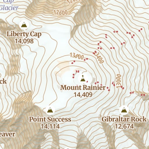 Topo Free Trails, roads, contours and hillshade for the whole world, from OpenStreetMap.
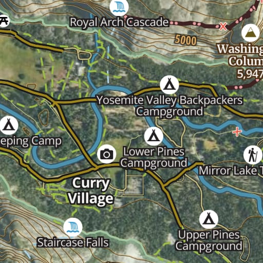 Hybrid Free Satellite imagery with trails, roads, contours and names drawn on top.
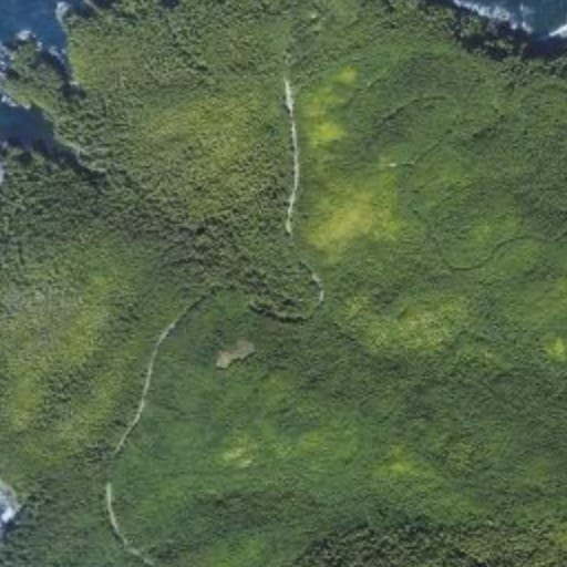 Satellite Free Satellite imagery of the whole world, with nothing drawn over it.
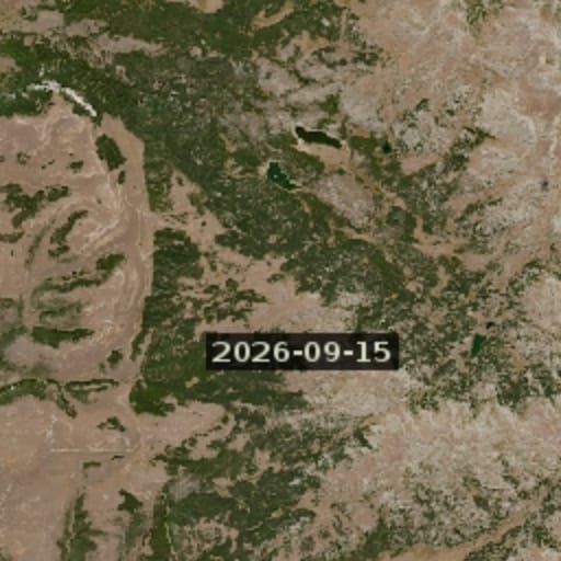 Satellite - Latest Cloudless Membership The newest clear Sentinel-2 image, skipping cloudy passes.
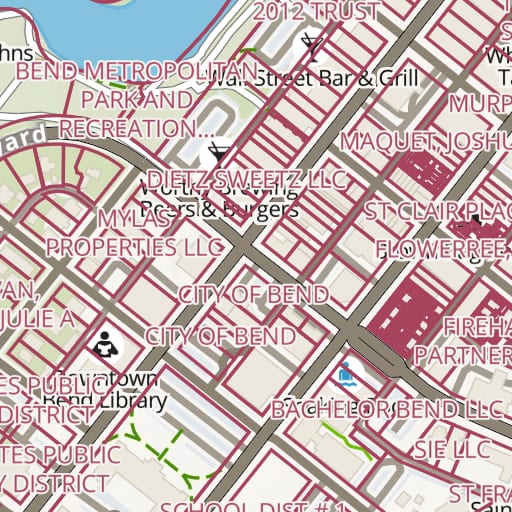 Land Ownership Membership Property lines and owner names for private land across the United States.
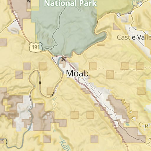 Public Lands Free Federal and state land colored by agency, from the USGS PAD-US database.
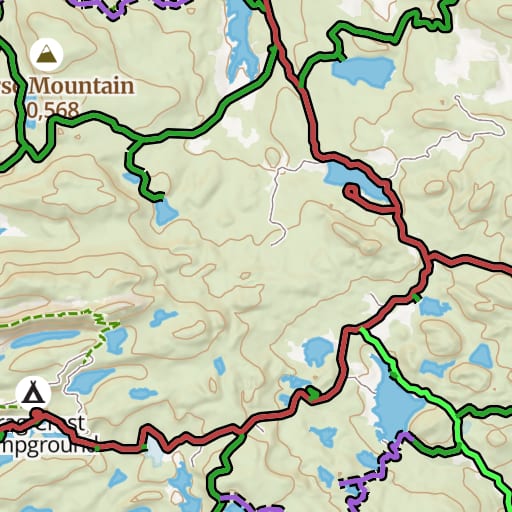 USFS Motor Vehicle Use Map Free Which National Forest roads and trails are open to which vehicles, and when.
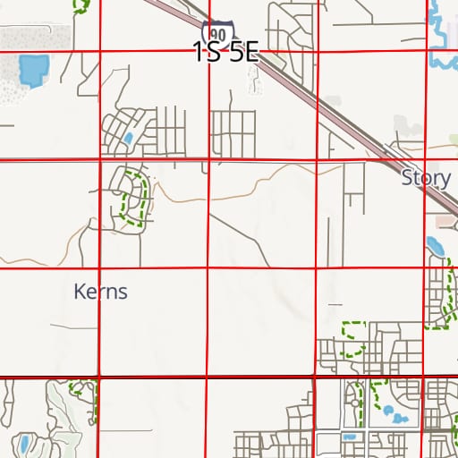 PLSS Free Township, range and section lines from the BLM's survey records.
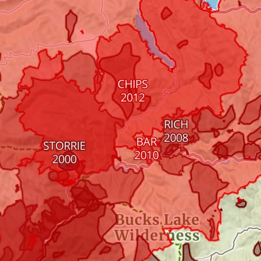 Historic Fires Free Past wildfire perimeters with each fire's name and year.
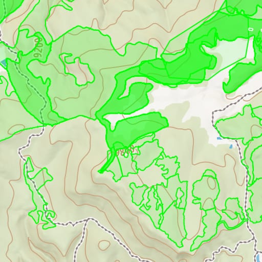 USFS Timber Harvests Free Where National Forests have been logged and thinned, with the year of each cut.