How to configure the map
Updated
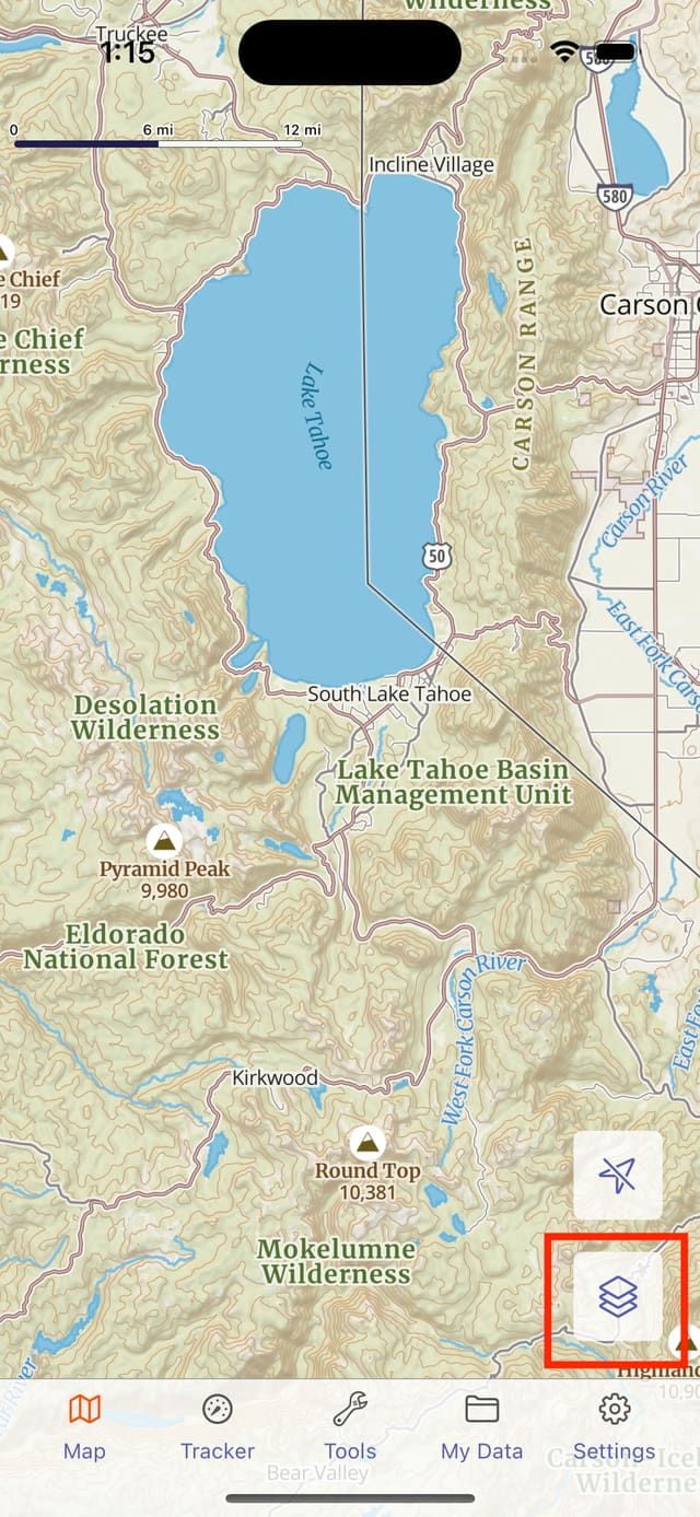
What is displayed on the map is controlled in the Map Menu. To open the Map Menu, tap the Map Menu Button on the Map Screen.
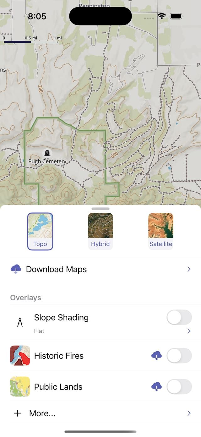
The map menu is divided into three sections, basemaps, overlays, and My Data.
Basemaps
Goat Maps always shows one basemap. Currently there are 3 options, Topo, Satellite, and Hybrid. All other data will show on top of the basemap. We plan on adding more basemap options in the future.
Overlays
Overlays add additional information to the map. Most Overlays are available for offline download. Some overlays require a subscription.
Overlays are enabled with the toggle switch next to the overlay name. Overlays that are downloaded, or have been recently used are listed in the Map Menu. The full catalog of overlays can be accessed by tapping "More..." under overlays.
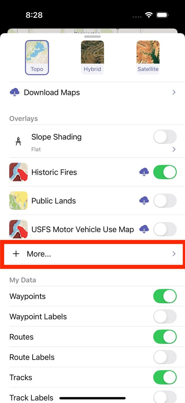
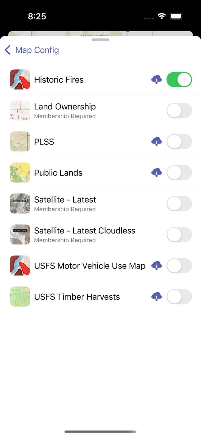
Some currently available overlays are:
Historic Fires
Historic wildfires in the USA, including name, year, and responding agency.
Public Lands
USA only. Public land boundaries, and including unit name, and management agency.
Land Ownership
USA only. Provides owner name and address.
Satellite - Latest
Global satellite imagery, updated about every 14 days. Not available for offline download.
Satellite - Latest Cloudless
Global satellite imagery, updated about every 14 days, but falling back to older imagery if image is more than 10% cloud covered. Not available for offline download.
USFS Motor Vehicle Use Map
US Forest service motor vehicle use maps. Provides information on access restrictions for road and trail use.
USFS Timber Harvests
US Forest Service timber harvest history. Provides sale name, year, and harvest method when available.
My Data
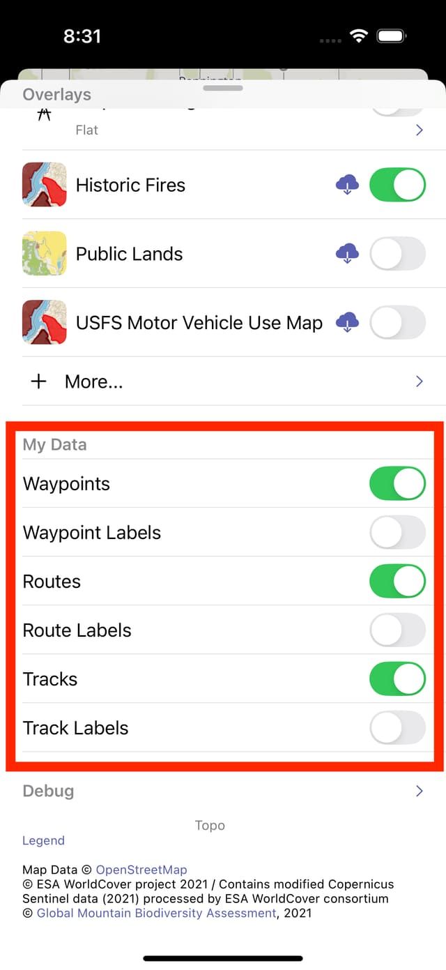
The My Data section allows you to control whether tracks, routes, and waypoints show on the map. Labels to show the name for each item can also be enabled.